
“Accurate Data. Safer Projects. Faster Decisions.”
DRONE SERVICES IN SAVANNAH GA AND SURROUNDING AREAS.DRONE SERVICES IN SOUTH EAST GEORGIA
Our Services

Cloud Point Drones delivers reliable aerial monitoring to keep your construction project on track. Our drone imagery provides clear progress updates, improves coordination, and helps identify issues early—saving time, reducing costs, and increasing job site efficiency.
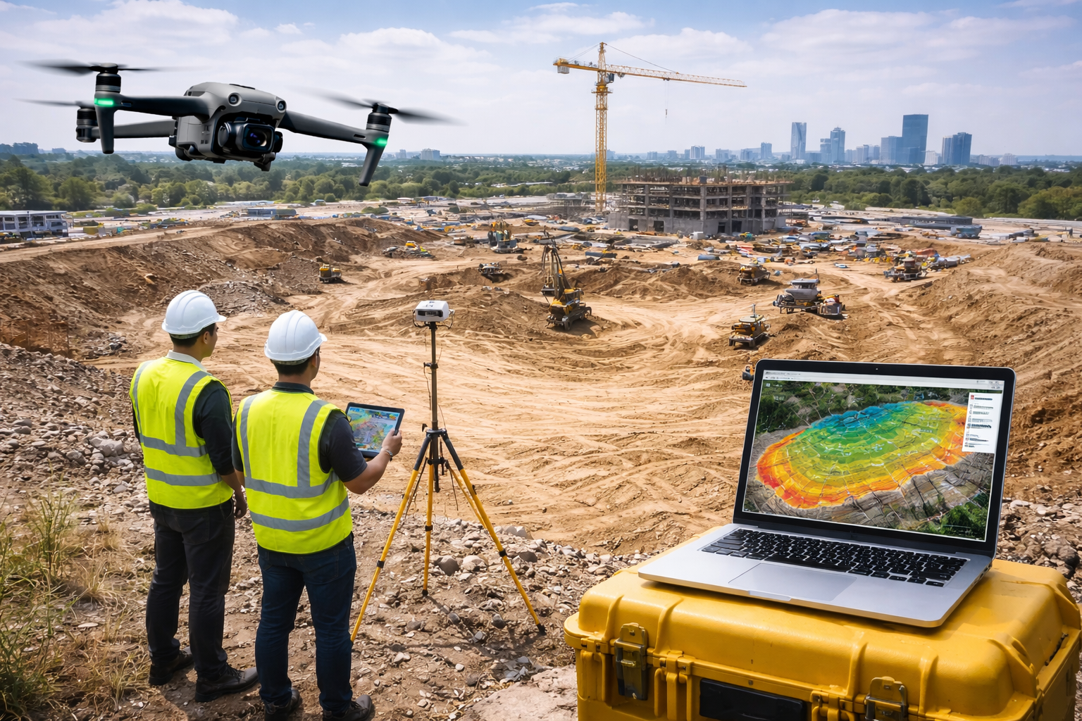
Cloud Point Drones provides professional drone mapping and aerial data collection services in Savannah, Georgia and surrounding areas, supporting construction companies, engineers, licensed land surveyors, and developers. We specialize in capturing high-resolution aerial imagery, orthomosaic maps, 3D models, point clouds, and volumetric data that surveyors and project teams rely on for accurate analysis and decision-making.
As FAA Part 107 certified drone pilots, we focus on safe, efficient UAV data acquisition. All mapping products are delivered as survey-ready datasets designed to integrate seamlessly into CAD, GIS, and other professional workflows.
Cloud Point Drones provides professional drone inspection services for roofs, construction sites, commercial buildings, and critical infrastructure. Our FAA Part 107 certified pilots use high-resolution aerial imagery and video to perform safe, accurate, and cost-effective inspections. Drone inspections reduce downtime, minimize safety risks, and deliver detailed visual data for maintenance planning, insurance documentation, and asset management.
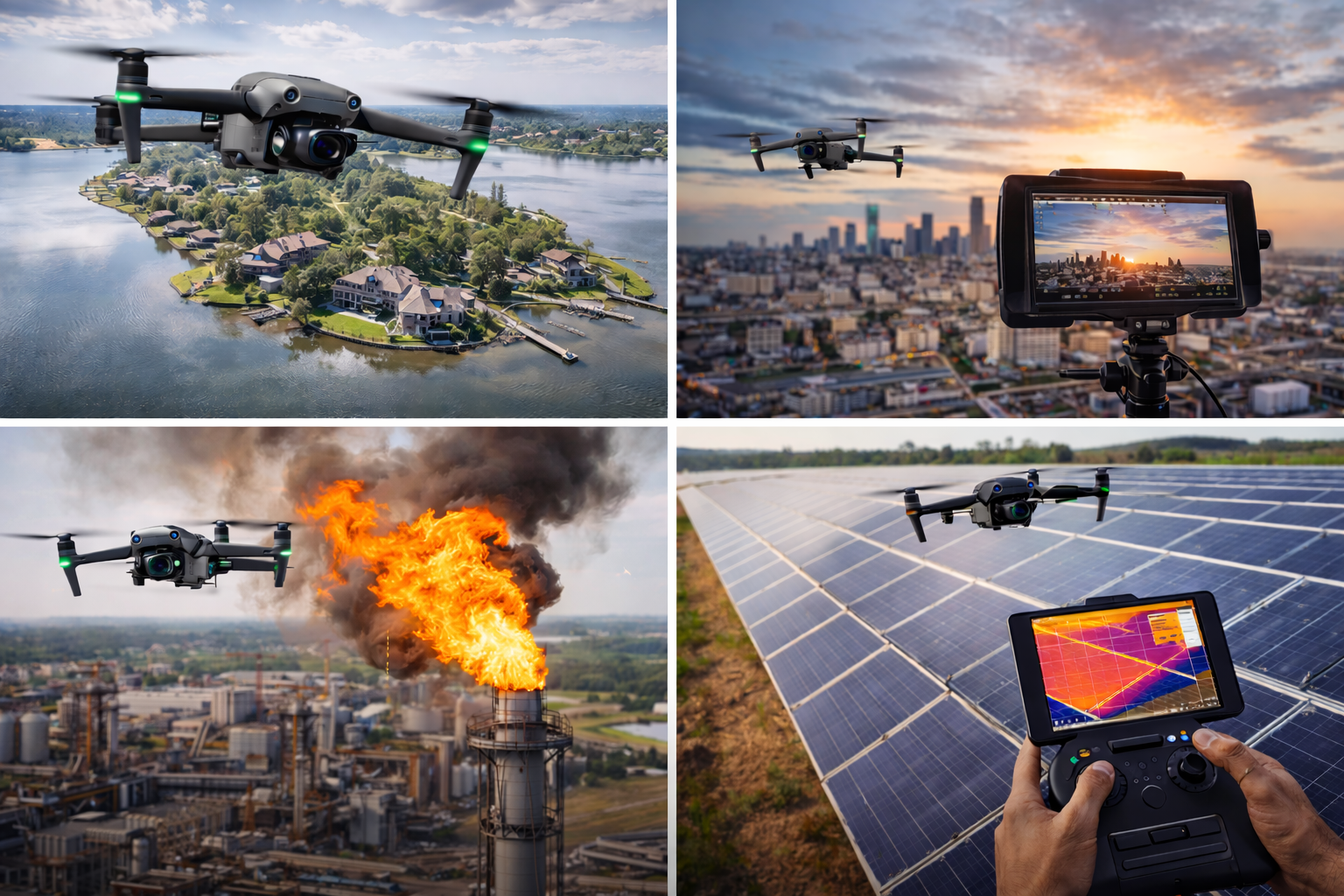
Cloud Point Drones provides a full range of professional drone services in Savannah, Georgia and surrounding areas, delivering high-quality aerial imagery and data for businesses, property owners, and organizations. Our drone services offer safe, efficient, and cost-effective solutions for projects that benefit from clear aerial perspectives and accurate visual documentation.
We specialize in aerial photography and videography in the Southeast Georgia area for marketing, real estate listings, promotional content, and project documentation. Our drone imagery helps clients showcase properties, developments, and commercial assets with professional-grade visuals that stand out.
Cloud Point Drones also supports roof overviews, insurance documentation, asset condition visuals, and infrastructure observation for commercial and industrial sites. Using drones allows us to capture detailed imagery of bridges, towers, large facilities, and hard-to-reach structures while reducing safety risks and minimizing operational disruptions.